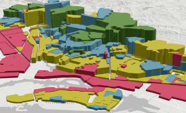
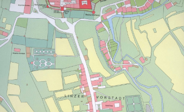
Mapping and Land Information
Land is the fundamental resource and a vital input for all development. Accurate mapping and land information supports development, enables effective planning and policy making initiatives from grassroot level up.
Our geospatial solutions aid effective land administration and mapping through data acquisition and photogrammetry. Further, drones are revolutionizing land surveying by providing fast, highly accurate data, often in minutes, easy accessibility to remote process, reduced site revisits, and optimized use of manpower.
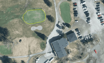
Boundary dispute management
Land use

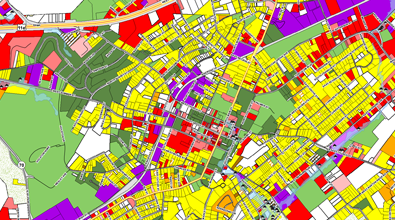
Cadastre management
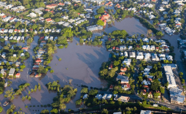
Disaster risk management
Property registry